
Ahead of our launch — an invitation
Meet Geoffrey. PangeAI’s geospatial agent.
Geoffrey is the agent you talk to. He reads Earth observation data for the people who manage physical assets. We’re opening him up to a small group before launch.
How it works
How Geoffrey works.
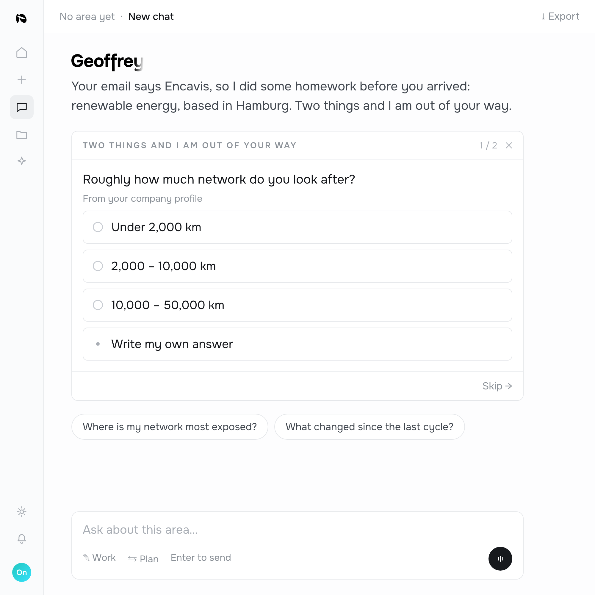
Describe.
You tell Geoffrey what you manage and what you need to know.
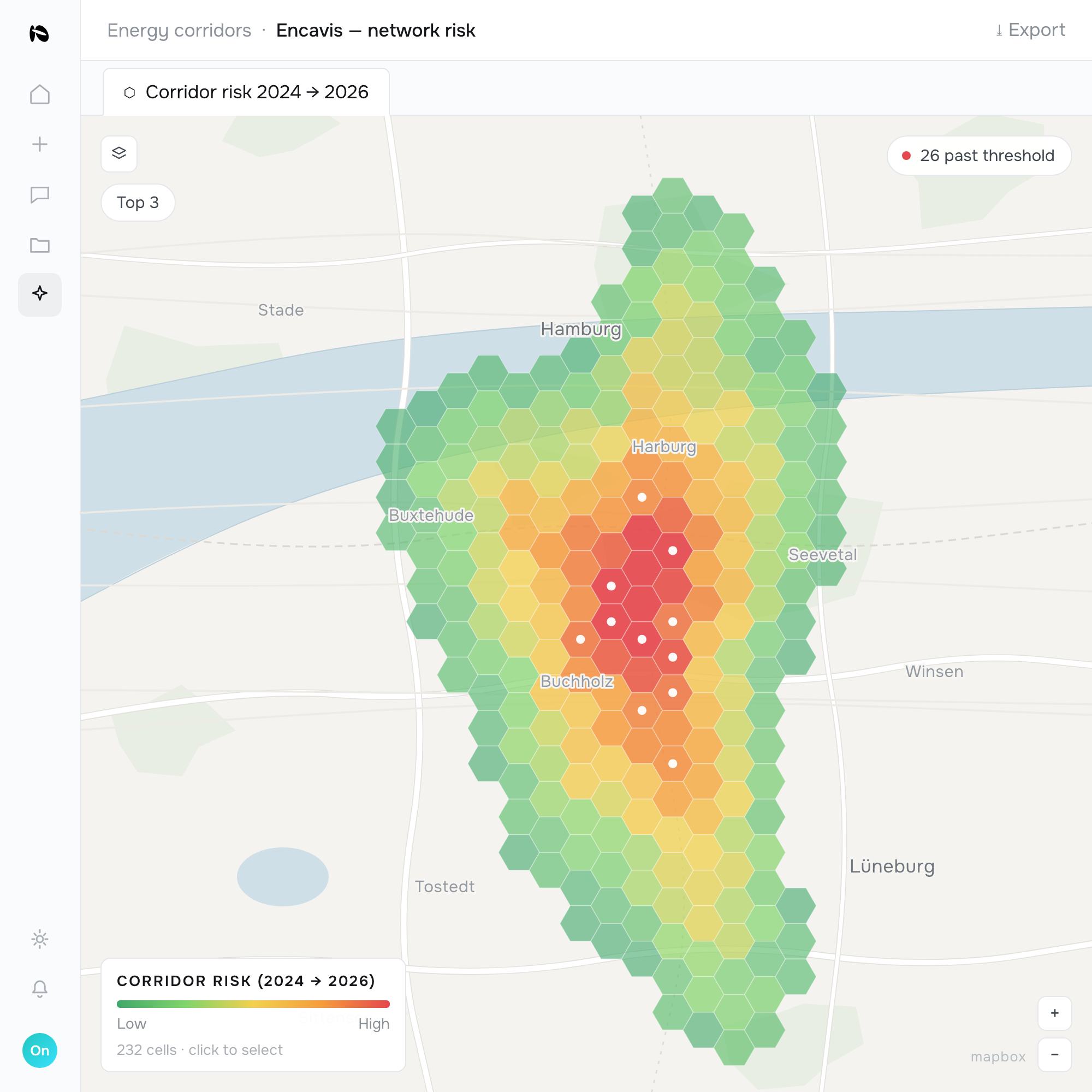
Analyse.
He screens the area cell by cell against the data that bears on it.
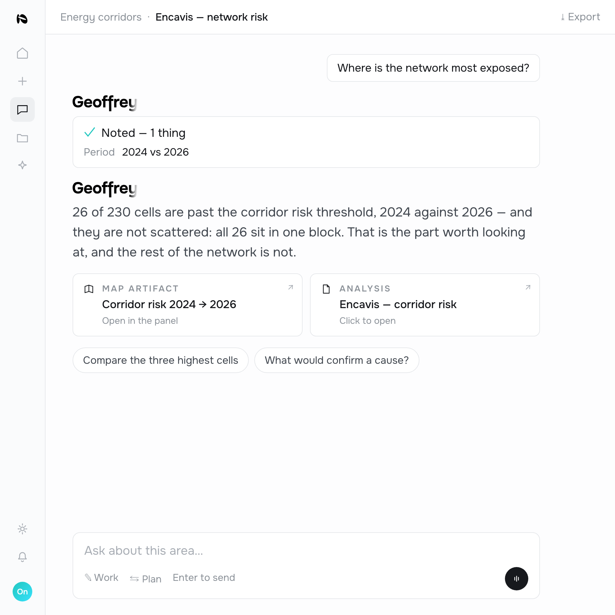
Receive.
A ranked answer with the evidence behind it — never a black-box score.
Sample analyses
Specific and named, never generic.
For a grid operator, Geoffrey names analyses like these.
Compound corridor risk
Every segment ranked by vegetation, wildfire, flood and terrain risk together — refreshed continuously, not once a cycle.
Compliance evidence pack
Audit-ready, per-asset documentation of clearance and change over time, mapped to your obligations.
Encroachment & third-party works
New construction or excavation in your right-of-way, cross-checked against permit records to cut false alarms.
Storm response
After an event, the assets most likely affected, ranked by customers served, for crew dispatch.
Geospatial AI for asset-heavy operators.






Partners and programmes we work with
Start
Find out what Geoffrey would find for you.
No account needed. We'll walk through your operation and show what Geoffrey would find.