
Chapter 04 · Work with results
Read the map
Make the map bigger, change what it shows, and open any hexagon to see what is behind it.
Step by step
01
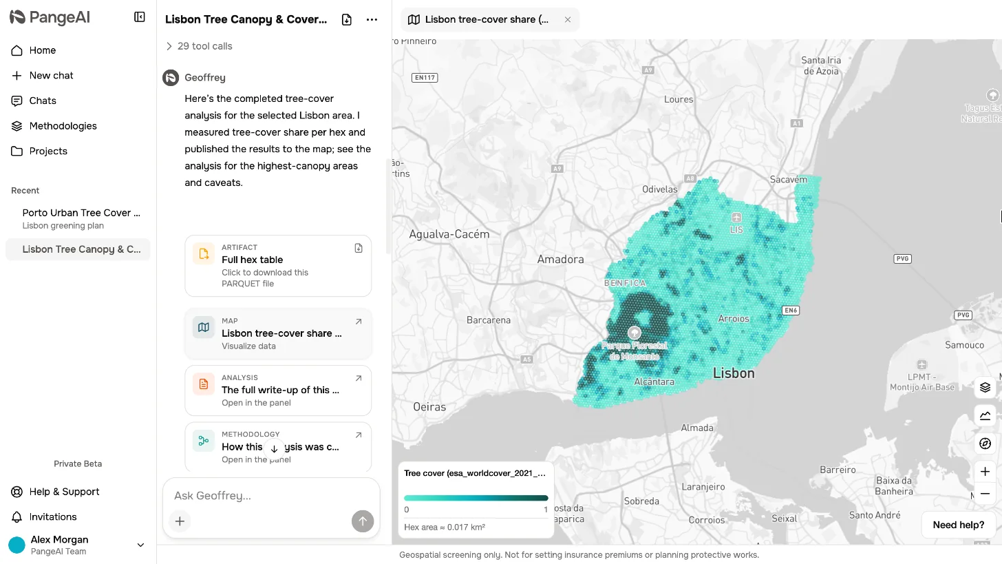
Give it room
Every result in PangeAI lands on a map. Drag the divider to the left, and the map gets the room it deserves.
02
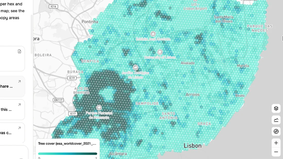
The hexagons
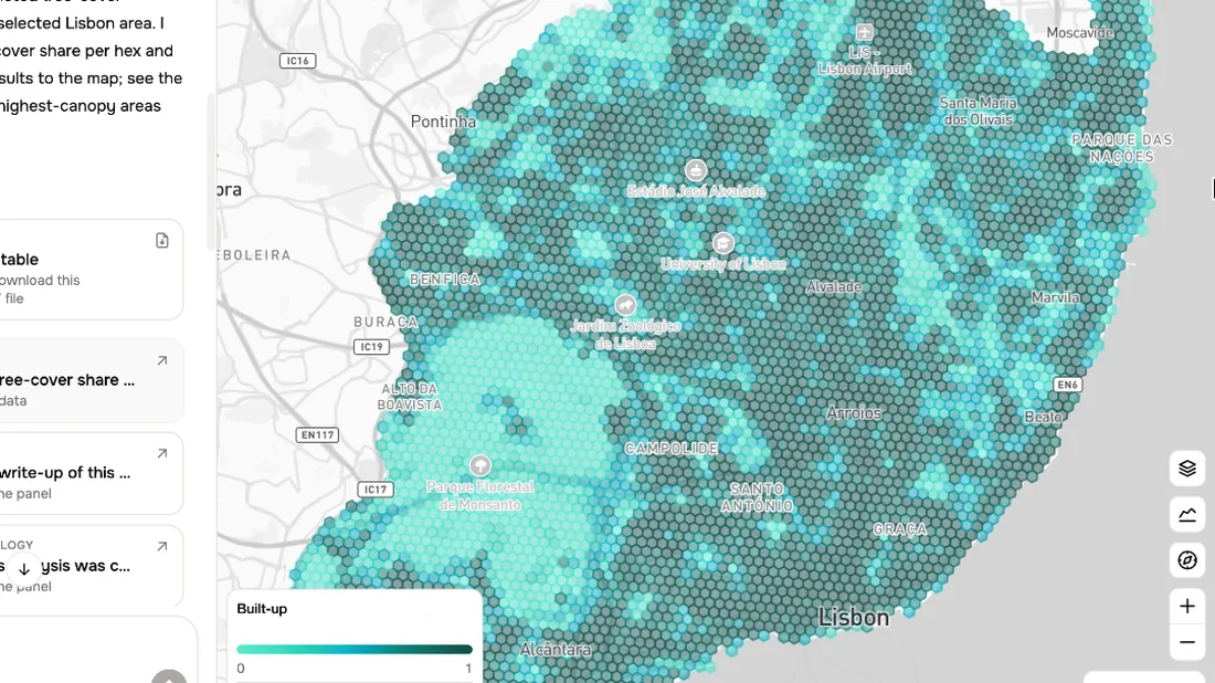
Zoom in, and you see the hexagons. Each one holds the numbers for that piece of ground.
03
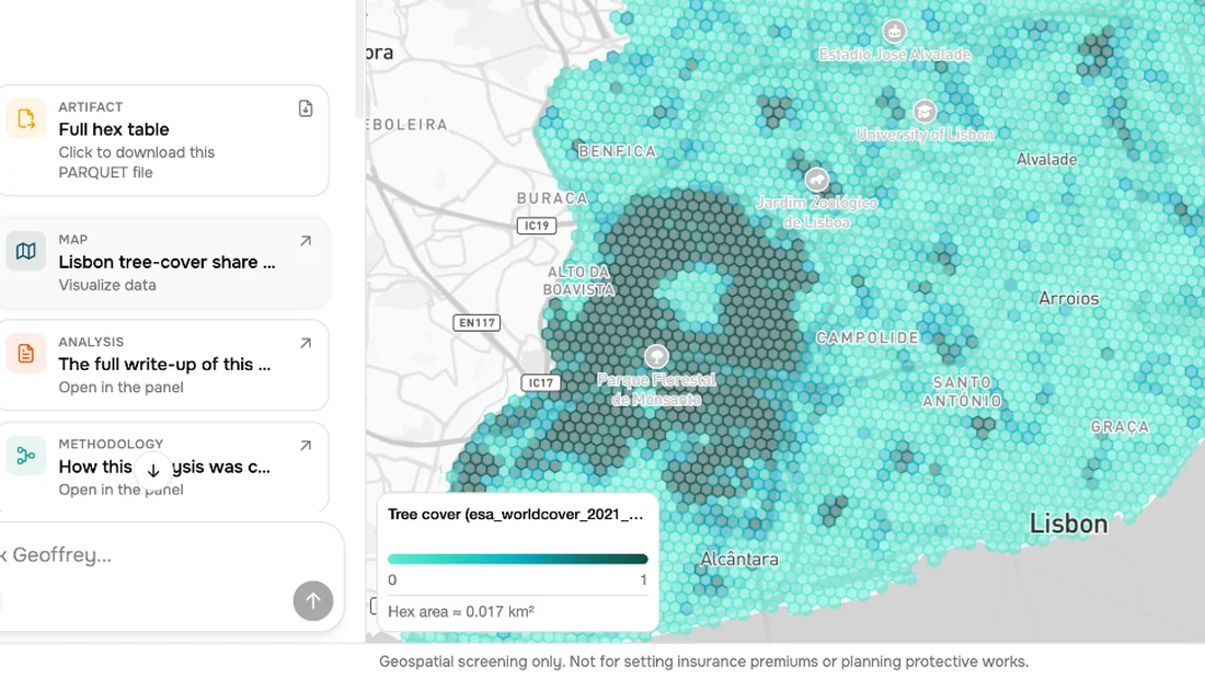
The legend
The legend tells you what the colours mean. Here, darker means more tree cover.
04
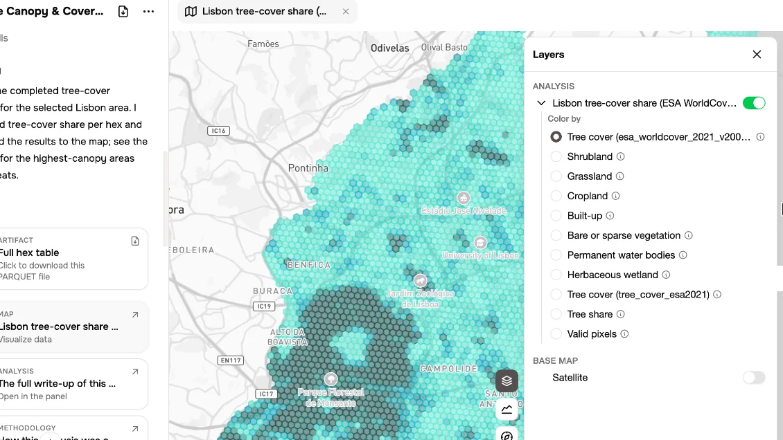
Layers
Open Layers to change what you see. Pick another column to colour by, or switch on satellite imagery.
05
Colour by
Choose Built-up, and the same hexagons now show where the city is densest.
06
Look closer
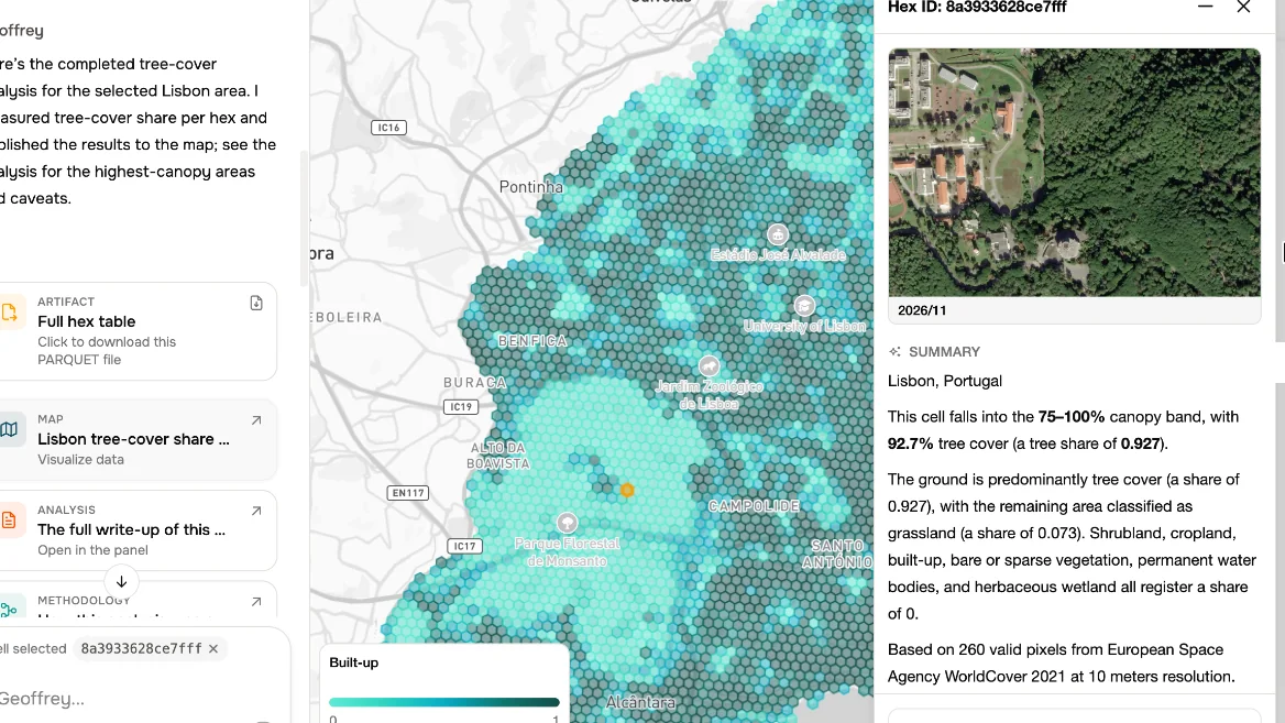
Click any hexagon to look closer. You get a satellite image, a short summary, and the values behind it.
07
Ask about it
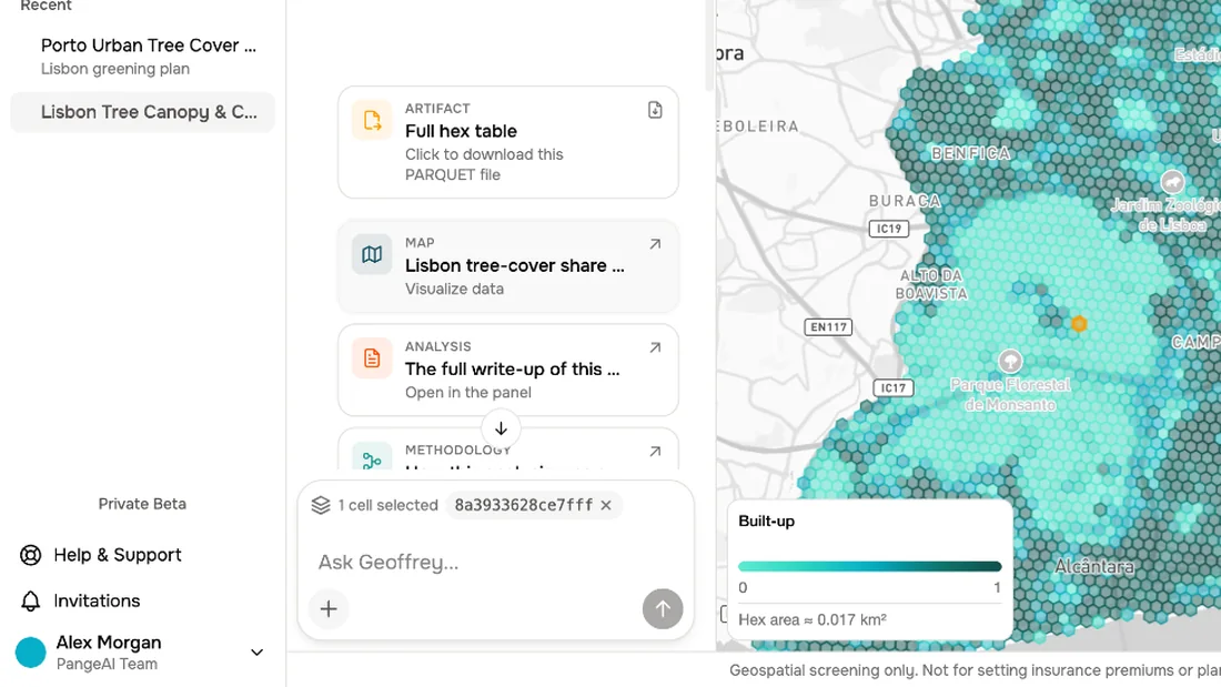
The selected cell is added to your next message, so you can ask Geoffrey about that exact spot.
What to remember
- 1
Drag the divider to give the map room
- 2
Layers change what the map shows
- 3
Click a hexagon to look closer